
This includes Cadastral, Topographical, Control and Engineering Surveying. This is an aspect of spatial measurements, representation, analysis, retrieval and display of spatial data concerning both the Earth's physical features and the built environment.
Cadastral Survey: Establishment and Reestablishment of Property Boundaries including Subdivision and Monumentation for Registration and Titling.
Topographical Survey: Measurements of elevation of points and location data of natural and man-made features to guide planning, grading and construction
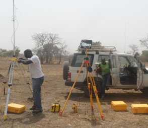
Control Survey: Establishment of reference points to use as starting positions for future surveys. Including Photo Control Survey that creates reference marks visible from the air to allow aerial photographs to be rectified
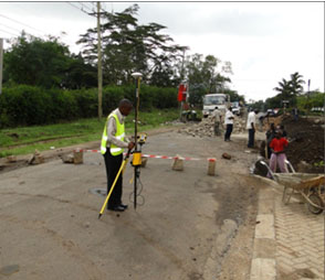
Engineering Survey: Measurement and marking out calculated positions of objects on the ground. Applied in design compliance verification, site set out, volume calculations and quality control in construction and civil works.
Mapping: Collection of spatial and generation of well-designed maps for various uses.
Our Services include:
- Cadastral Survey
- Topographic Survey
- Engineering Survey
- Control Survey Mapping