

The County Government of Kericho would like to undertake the preparation of digital topographic maps and a county Spatial plan to cover the entire area of Kericho County. This will form a basis for orderly and sustainable human settlement in urban and rural areas within the county; designate land for various uses such as Industrial, Agricultural, Natural Resources, Roads, Water, etc.
Output / services
- Survey – Qualitative, quantitative, and spatial data collection
- Analysis – Interpretation of collected data including projections
- Planning – Decision making based on the available analyzed data and development models
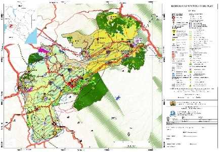
- Outputs: Structure Plan | Strategic Plans for Physical and Social Infrastructure, Services, Land, Settlement and Housing, Environment and Economy | Zoning Plan | GIS Database| Setting up of GIS Lab | GIS Training