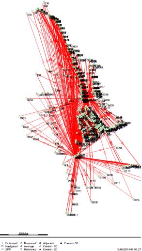
To prepare contour map plan to show the elevation variation in Bentiu Protection site. To show in detail the drainage of surface flow water across existing sites to make determinations of the runoff patterns and volume and to produce an accurate map
Project Services/Outputs
- Topographical and contour map of the current POC Bentiu.
- To provide a computer-generated contour model and/or digital ground model.
- Cross section map of the designated area for drainage channel (50 meter) and drainage profile (1000 meter)
- Estimation on the quantity of soil for earthworks inside POC Bentiu for raising the soil elevation up to 0.5 meter
- To submit photographs of all benchmarks established and their use in the survey.


