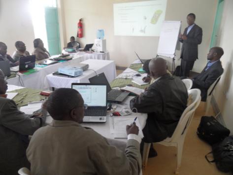
Train ministry staff on GIS and remote sensing technology and how to apply for their works. Analyze land use/cover changes in Kiambu County since 1970 using land Sat imagery
Output / services
- GIS/Remote Sensing Training for 2 weeks to 10 officers.
- To analyze Land Use Land Cover Change (LULCC) in Kiambu County
- To produce LULCC Maps for 5 Scenes
- To produce an analysis report of LULCC and its impact on food security
- To prepare a training report.


